
Description
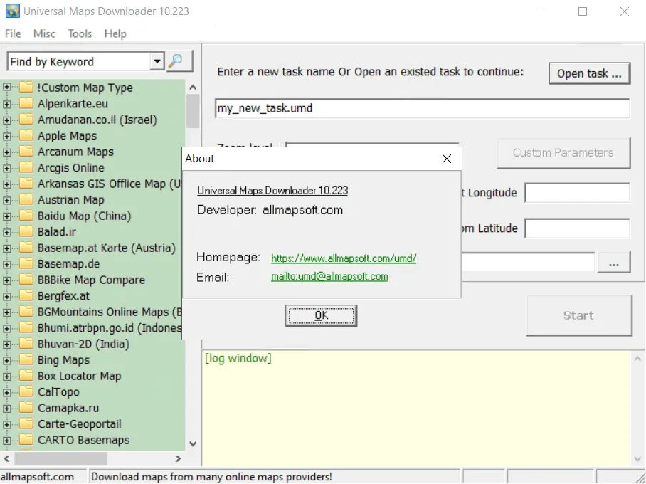
AllMapSoft Universal Maps Downloader is a tool similar to Offline Map Maker that helps users download offline tile images from over 500 different map types provided by various online map providers. This software covers a wide range of maps such as Street Maps, Satellite Imagery, and Topographic Maps, which allows them to be downloaded and saved for use in environments without an internet connection. Using this program, users can download maps of their desired geographic areas with accuracy and speed. Its main function is to connect to online map servers and extract image data in the form of small tiles, which are then stored in a usable and offline format on the user’s computer. This feature makes Universal Maps Downloader a vital tool for people who frequently work in areas with limited or no network access, such as researchers, hikers, or travelers who need constant map resources. The program also offers tools for managing and organizing downloaded maps to make the process of using offline data efficient and simple. Its continuous development ensures that it is compatible with the latest online map sources and standards.
Program features and functions
- The program allows the user to choose from over five hundred different map types, including a wide range of global and regional map resources.
- The main feature of the software is to directly download map tile images from online servers and store them offline. These images are saved in formats that can be managed and used in the future.
- The user can specify the area of interest with high precision so that only maps related to that area are downloaded. This saves time and storage space.
- The download process is automated and with advanced error handling so that the download can be resumed in the event of a connection problem.
- The software offers a simple user interface for managing various map resources, and users can easily switch between different maps.
- Universal Maps Downloader can only download Single Zoom Level Images. This means that the user must specify the desired zoom level for the selected area separately.
- This software does not support standard geographic data formats such as KML (Keyhole Markup Language) and GPX (GPS Exchange Format). As a result, it is not possible to manage track and waypoint data directly in it.
- Also, Universal Maps Downloader does not output HTML files . This feature is often used to create interactive maps on the web, which is not available in this program.
- Despite these limitations compared to apps like Offline Map Maker , its focus on simplicity and efficiency in downloading tile images at a specific zoom level is clear.
System requirements
Windows operating system (versions 7, 8, 10, or 11) and the need to run the program as an administrator
Pictures

Installation Guide and Tips
It is included in the Readme file in the Crack folder.
Download link
Download AllMapSoft Universal Maps Downloader 10.223
Rapidgator link
Download AllMapSoft Universal Maps Downloader 10.223
File(s) password: www.downloadly.ir
File size
19 MB