
Description
AllMapSoft Google Hybrid Maps Downloader is a tool that can automatically download Google hybrid maps . These maps are a combination of satellite images and information layers such as roads and names that provide a hybrid view. This software gives users the ability to save large portions of Google hybrid maps to their computer or other devices for offline use.
The user can specify a geographic area of interest, and the program then downloads that area at various zoom levels from Google servers and automatically combines the downloaded tiles into a single large image. This tool is especially useful for those who need large map data for GIS projects , travel planning, or development applications. The program has the ability to download a variety of composite maps, including English-language versions, local language versions, versions without points of interest ( POI ), and versions without roads. These diverse features allow the user to download and produce a map that exactly suits their needs.
Program features and functions
- Automatic Image Download: The software has the ability to automatically and continuously download images from Google hybrid maps , thus eliminating the need to manually download multiple map tiles . The user only needs to set the desired range and zoom level.
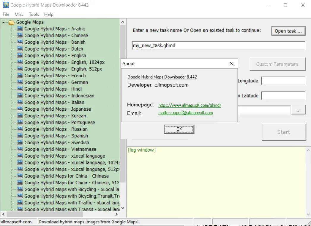
- Different types of maps: One of its main features is its support for different types of Hybrid Maps . These types include Google hybrid maps with English Language , with local Language (such as Persian), without displaying points of interest ( POI ), and without road layer. This variety gives users more choice to choose the raw data or visualized data they need. Also, a special version of Google hybrid maps for China is also supported by this Downloader .
- Convert to a single image: The downloaded map tiles are automatically converted by the program into a large, complete, and usable image (e.g., in Bitmap format) in a Stitching process . This allows users to easily use the map in other software or applications.
- Support for multiple zoom levels: This software allows the user to download images at different zoom levels, which is essential for creating highly detailed maps or maps that show an overview of an area. This capability greatly increases the flexibility in collecting map data.
- Specialized GIS capabilities: This tool can be useful for specialized projects such as geographic information systems ( GIS ), as it provides offline, large-scale map data that can be used in spatial analyses.
System requirements
- Windows: The software runs on a Windows operating system, including versions 7, 8, 10, and 11.
Pictures

Installation Guide and Tips
It is included in the Readme file in the Crack folder.
Download link
Download AllMapSoft Google Hybrid Maps Downloader 8.443
File(s) password: www.downloadly.ir
File size
25 MB