Description
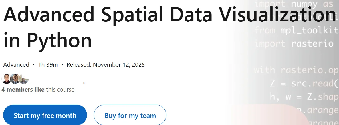
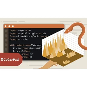
Advanced Spatial Data Visualization in Python is a course on transforming spatial data into powerful visual insights using Python’s leading spatial libraries, published by Udemy Online Academy. This is a comprehensive course designed for those who want to transform spatial data into powerful visual insights using Python’s leading spatial libraries. The course explores advanced techniques with tools such as GeoPandas, Shapely, Folium, Plotly, and Matplotlib, and teaches students how to manage complex spatial datasets, perform spatial analysis, create interactive web maps, and build multi-layer visualizations. Students gain hands-on experience working with shapefiles, raster data, coordinate reference systems, projections, spatial connections, spatial statistics, and real-world mapping workflows.
Key points include working with spatial datasets using GeoPandas, performing geometric operations with Shapely, creating interactive maps with Folium and Plotly, visualizing raster and vector data, understanding coordinate reference systems and visualizations, using spatial joins and spatial queries, applying spatial statistics, building multilayer map visualizations, integrating real-world GIS data sources, and developing accurate and informative spatial visualizations in Python. By the end, participants will be able to design high-quality, interactive 2D GIS visualizations, analyze spatial patterns, and present geographic data with professional clarity and elegance.
What you will learn in Advanced Spatial Data Visualization in Python:
- Python (programming language)
- Geographic Information Systems (GIS)
- Spatial Modeling
- Spatial Analysis
- Spatial Data
- Data Visualization
- And …
Course specifications
Publisher: LinkedIn
Instructors: Milan Janosov, Ph.D.
Language: English
Level: Advanced
Number of Lessons: 16
Duration: 1h 39m
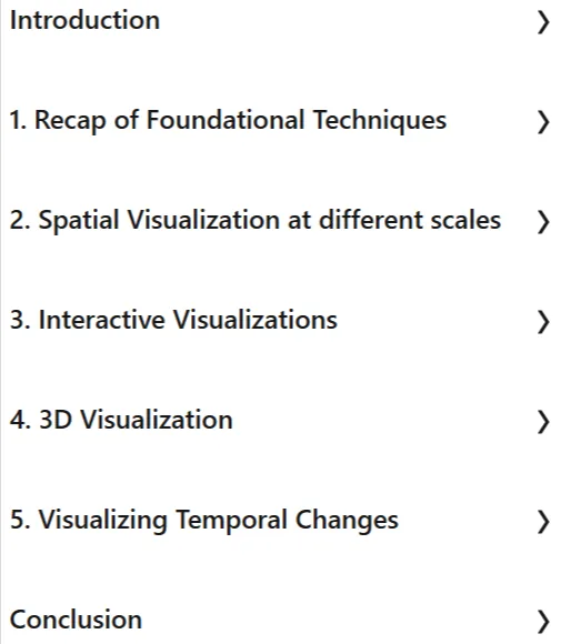
Course topics

Advanced Spatial Data Visualization in Python Prerequisites
None
Pictures

Advanced Spatial Data Visualization in Python introduction video
Installation guide
After Extract, watch with your favorite Player.
English subtitle
Quality: 720p
Downloadly link
Rapidgator link
File password (s): www.downloadly.ir
Size
276 MB