Description
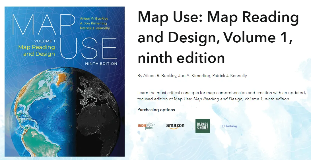
A classic and authoritative reference in the world of cartography, Map Use: Map Reading and Design Volume 1 provides the knowledge and skills needed to understand, analyze, and create maps. In its ninth edition, the content is aligned with the latest industry innovations and teaches readers to look beyond simple images to the decision-making processes behind each map and the limits of their accuracy.
This book combines scholarly text with hundreds of stunning visuals that explain the fundamental concepts of cartography in the context of modern technologies such as GPS and geographic information systems (GIS). It is designed for students and professionals who want to understand the visual language of maps and use them for geographic communication.
Book Features
- Comprehensive review of map scale, projection systems, and cartographic design.
- Updating data, maps, and images based on the latest global standards.
- Learning how to identify errors and information limitations in various maps.
- Providing a comprehensive guide to coordinate systems and methods of displaying elevations.
- Includes an online dictionary and helpful resources to better understand abstract geographical concepts.
Book specifications
- Publisher: Esri Press
- Instructor: A. Jon Kimerling
- Number of pages: 947
- Number of chapters: 12
- Format: PDF
Headlines

Pictures

User Guide
Extract the file and run it with the appropriate software.
Download link
File(s) password: www.downloadly.ir
File size
111 MB