Descriptions
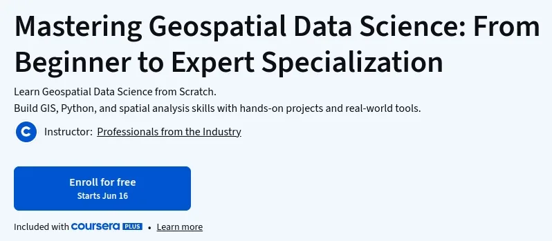
Mastering Geospatial Data Science: From Beginner to Expert Specialization, This specialization is designed for those looking to master geospatial data science from the ground up. You will build essential skills in GIS, Python, and spatial analysis through a comprehensive curriculum filled with hands-on projects. The program covers the entire geospatial workflow, from foundational concepts and vector analysis to advanced topics like raster processing, remote sensing, 3D data analysis, and machine learning. You will learn to work with industry-standard tools and technologies, including desktop GIS, spatial databases, and cloud-based platforms, preparing you to tackle real-world challenges.
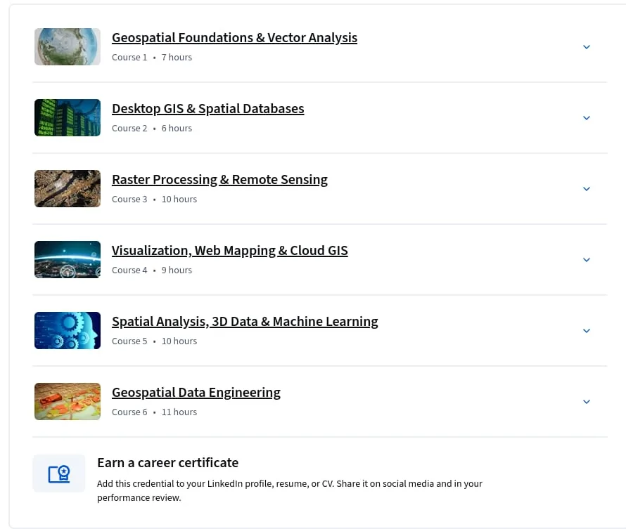
Through a series of six courses, you will progress from understanding geospatial fundamentals to engineering complex data pipelines. The curriculum delves into data visualization, web mapping, and leveraging cloud GIS for scalable solutions. By the end, you will have a robust portfolio of projects and the expertise to perform sophisticated spatial analysis, manage large-scale geospatial data, and apply machine learning techniques to derive insights from geographic information, positioning you for a successful career in the rapidly growing field of geospatial data science.
What you’ll learn
- Master the entire geospatial data science workflow, from data acquisition and analysis to visualization and deployment.
- Develop proficiency in key tools and languages, including Python, SQL, and GIS software (e.g., QGIS, ArcGIS).
- Learn to work with both vector and raster data, performing complex spatial analysis and remote sensing tasks.
- Build skills in web mapping, cloud GIS, and geospatial data engineering to create scalable, real-world applications.
- Apply 3D data analysis and machine learning techniques to solve advanced geospatial problems.
Who this course is for
- Aspiring data scientists who want to specialize in geospatial analysis.
- GIS professionals looking to enhance their programming and data science skills.
- Software developers and engineers interested in building location-aware applications.
- Researchers and analysts from various fields (e.g., urban planning, environmental science) who need to work with geographic data.
- Students and recent graduates seeking a comprehensive, project-based introduction to geospatial data science.
Specificatoin of Mastering Geospatial Data Science: From Beginner to Expert Specialization
- Publisher : Coursera
- Teacher : Professionals from the Industry
- Language : English
- Level : Beginner
- Number of Course : 5
- Duration : 4 weeks to complete at 10 hours a week
Content of Mastering Geospatial Data Science: From Beginner to Expert Specialization

Requirements
- No prior geospatial experience required. Basic familiarity with programming concepts such as variables and functions is helpful but not mandatory.
Pictures

Sample Clip
Installation Guide
Extract the files and watch with your favorite player
Subtitle : English
Quality: 720p
Download Links
Course 1 – Geospatial Foundations & Vector Analysis
Course 2 – Desktop GIS & Spatial Databases
Course 3 – Raster Processing & Remote Sensing
Course 4 – Visualization, Web Mapping & Cloud GIS
Course 5 – Spatial Analysis, 3D Data & Machine Learning
Course 6 – Geospatial Data Engineering
Password file(s): www.downloadly.ir
File size
2.42 GB