Descriptions
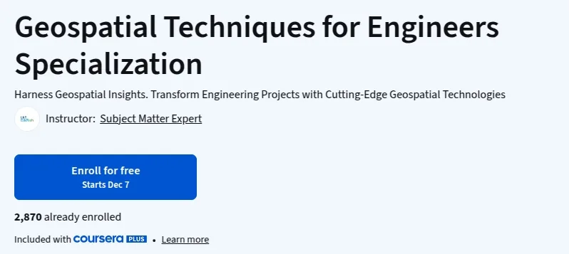
Geospatial Techniques for Engineers Specialization, Harness geospatial insights and transform engineering projects with cutting-edge geospatial technologies in this advanced specialization from L&T EduTech. This program covers the essential tools and techniques engineers need to analyze, visualize, and manage spatial data for construction, infrastructure, and environmental projects. Through hands-on courses, you’ll master GIS fundamentals, remote sensing, spatial analysis, and the use of industry-standard software like QGIS. Learn how to apply geospatial technology to solve real-world engineering challenges, optimize project planning, and drive innovation in your field. Whether you’re looking to upskill for career advancement or lead complex projects, this specialization provides the expertise to leverage geospatial data for smarter, more efficient engineering solutions.
What you’ll learn
- Master GIS fundamentals and spatial data management for engineering applications.
- Apply remote sensing and spatial analysis techniques to real-world projects.
- Gain proficiency in industry-standard geospatial software such as QGIS.
- Integrate geospatial technology into construction, infrastructure, and environmental engineering workflows.
- Develop advanced skills to optimize project planning and decision-making using geospatial data.
Who this course is for
- Engineers and technical professionals seeking to upskill in geospatial technologies.
- Construction and infrastructure project managers aiming to leverage spatial data.
- Environmental engineers and planners interested in advanced GIS applications.
- Students and graduates pursuing careers in geospatial engineering.
- Anyone looking to apply geospatial analysis to real-world engineering challenges.
Specificatoin of Geospatial Techniques for Engineers Specialization
- Publisher : Coursera
- Teacher : Subject Matter Expert
- Language : English
- Level : Expert
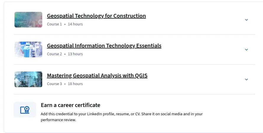
- Number of Course : 3
- Duration : 4 weeks to complete at 10 hours a week
Content of Geospatial Techniques for Engineers Specialization

Requirements
- Civil Engineering undergraduates, Geoinformatics/Remote Sensing post-graduates, engineers, faculty, GIS/Remote Sensing professionals.
Pictures

Sample Clip
Installation Guide
Extract the files and watch with your favorite player
Subtitle : English
Quality: 720p
Download Links
Downloadly
Course 1 – Geospatial Technology for Construction
Course 2 – Geospatial Information Technology Essentials
Course 3 – Mastering Geospatial Analysis with QGIS
Rapidgator
Course 1 – Geospatial Technology for Construction
Course 2 – Geospatial Information Technology Essentials
Course 3 – Mastering Geospatial Analysis with QGIS
Password file(s): www.downloadly.ir
File size
10.4 GB